Detailed roof and solar imagery. Property and farmland mapping. Animal detection. Aerial photography and video. A clearer view to help you plan, document and decide.
From the roof overview to the details worth reviewing.
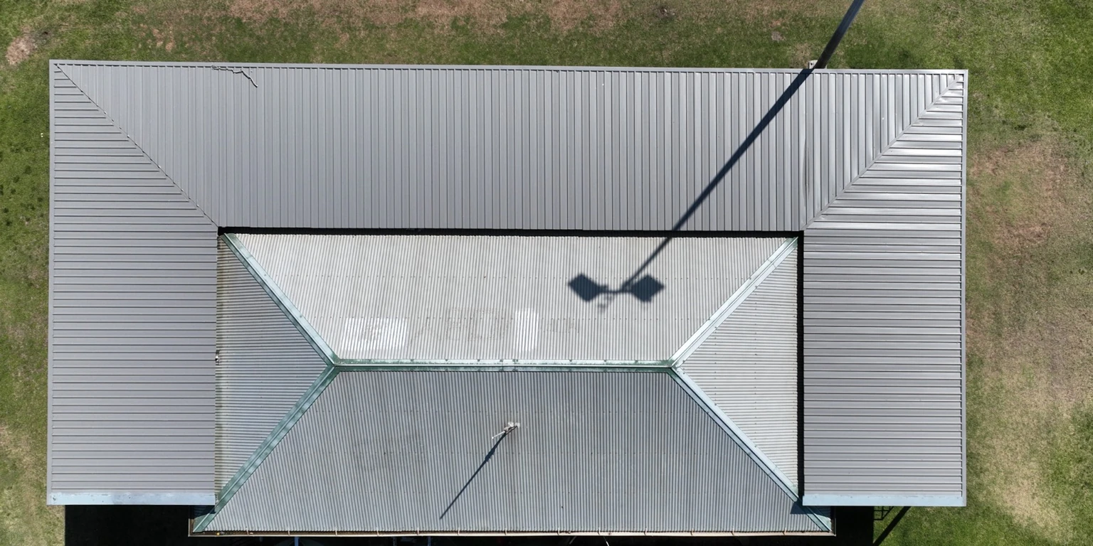
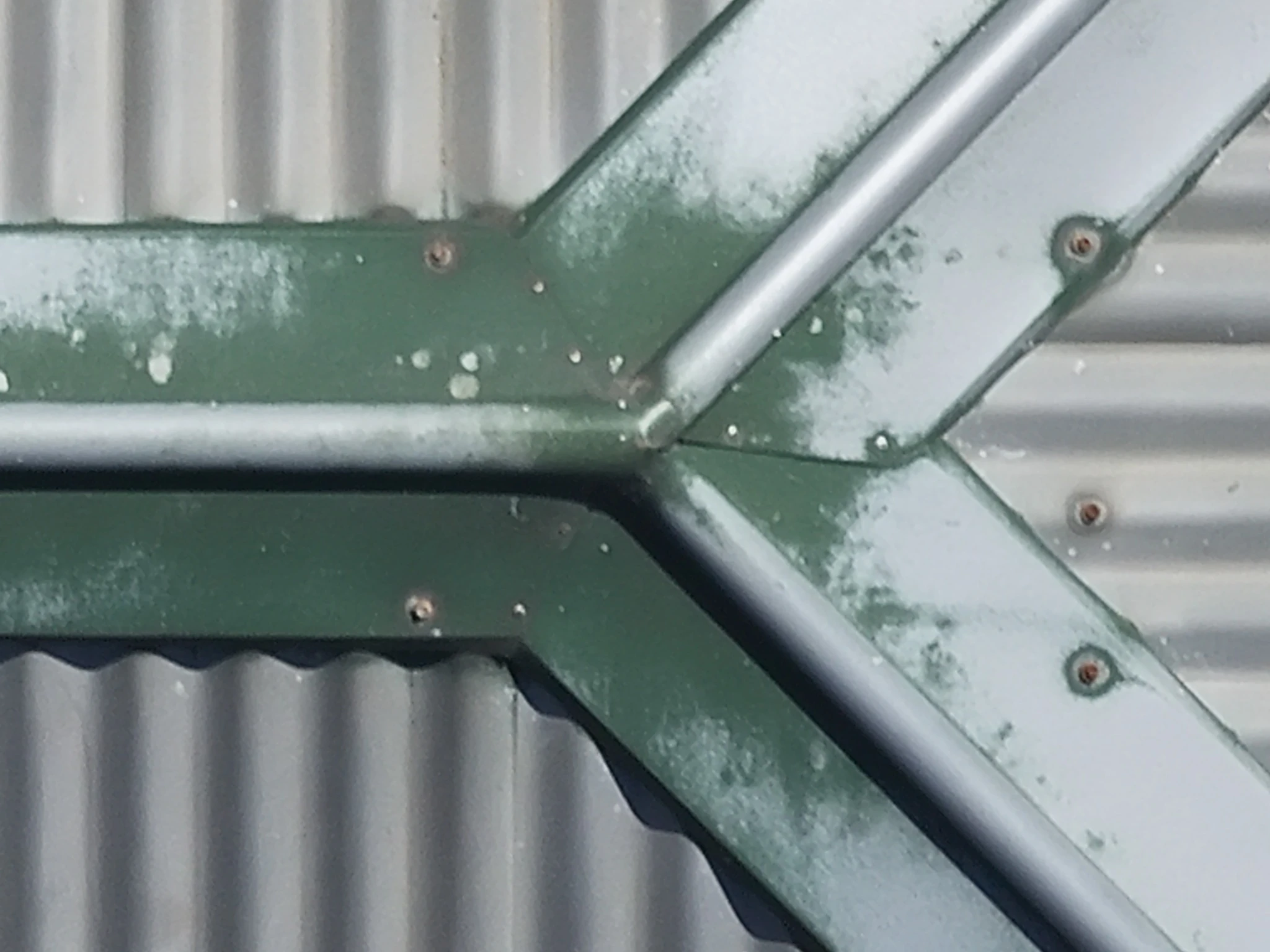
Detailed aerial images of roofs, gutters and solar panels, including thermal imagery where suitable. See difficult-to-access areas and document visible conditions for maintenance planning or review by your qualified trade.
Imagery supports assessment by qualified trades; it does not replace structural or electrical diagnosis.
02
Property & farmland mapping
From urban blocks to rural crops and farmland, bring your property into one detailed aerial view. Repeatable mapping helps you compare changes over time and make decisions informed by clear, consistent visual data.
Capture detail and accuracy are agreed for each project. Mapping does not establish legal property boundaries.
03
Animal detection & documentation
Locate and document animals by day or night using visual and thermal drone imagery. Thermal imaging can reveal heat signatures in daylight and darkness, supporting wildlife surveys, pest-control planning and searches for lost pets.
Night work, carefully planned. Site suitability, required operating approvals and insurance cover are confirmed for each job before booking.
Detection depends on terrain, vegetation and conditions. A successful sighting or recovery cannot be guaranteed.
04
Aerial photography & video
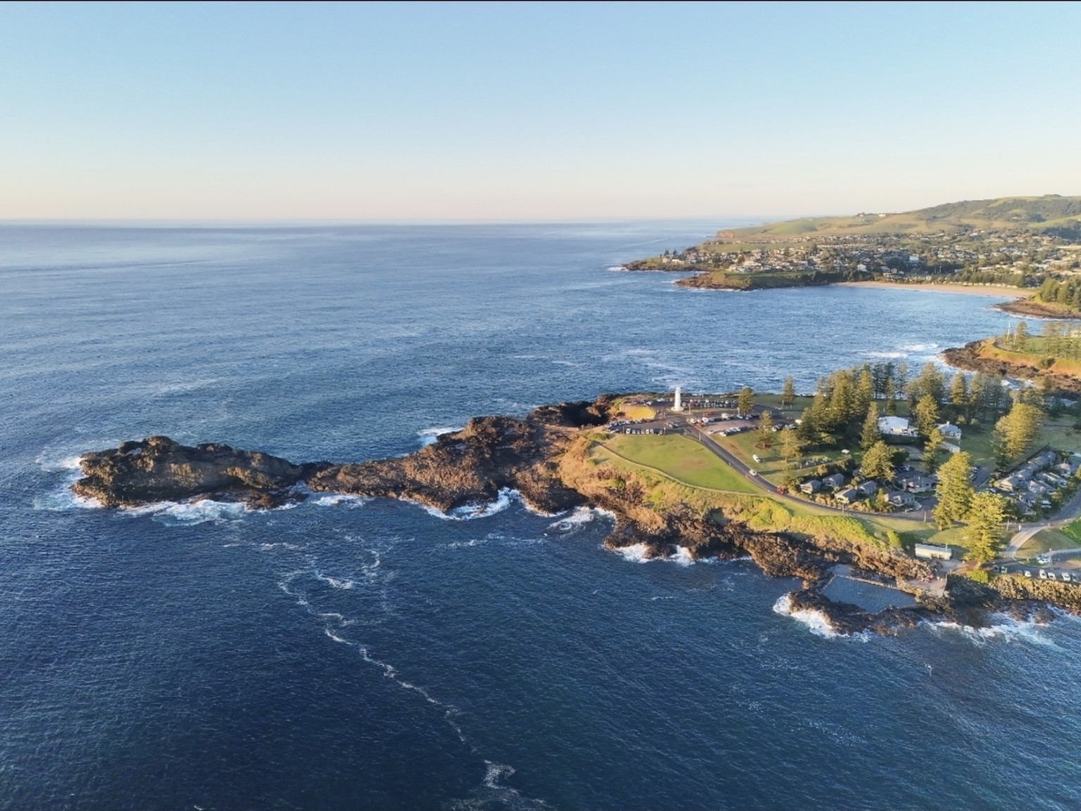
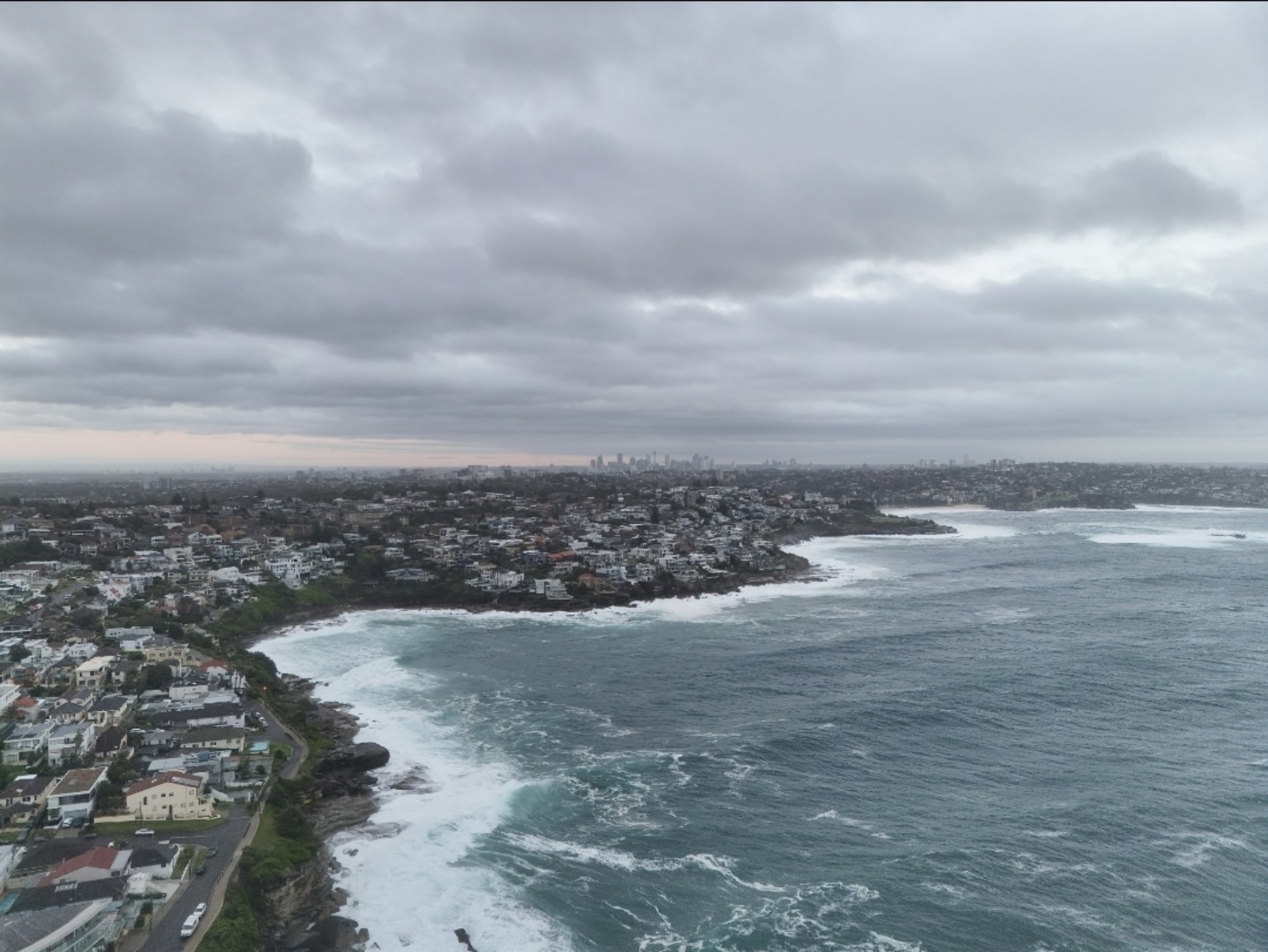
Show your property, project or business from a different perspective. Aerial photographs and video for marketing, construction progress and social media, supplied in formats suited to your intended use.
Scope and deliverables are agreed before the flight.
ROOF IMAGERY / IN PRACTICE
From the whole roof to the finer details.
Explore a roof overview, then take a closer look at the tiles, ridge junctions and metal awning. Clear imagery to support maintenance planning and review by your roofer.
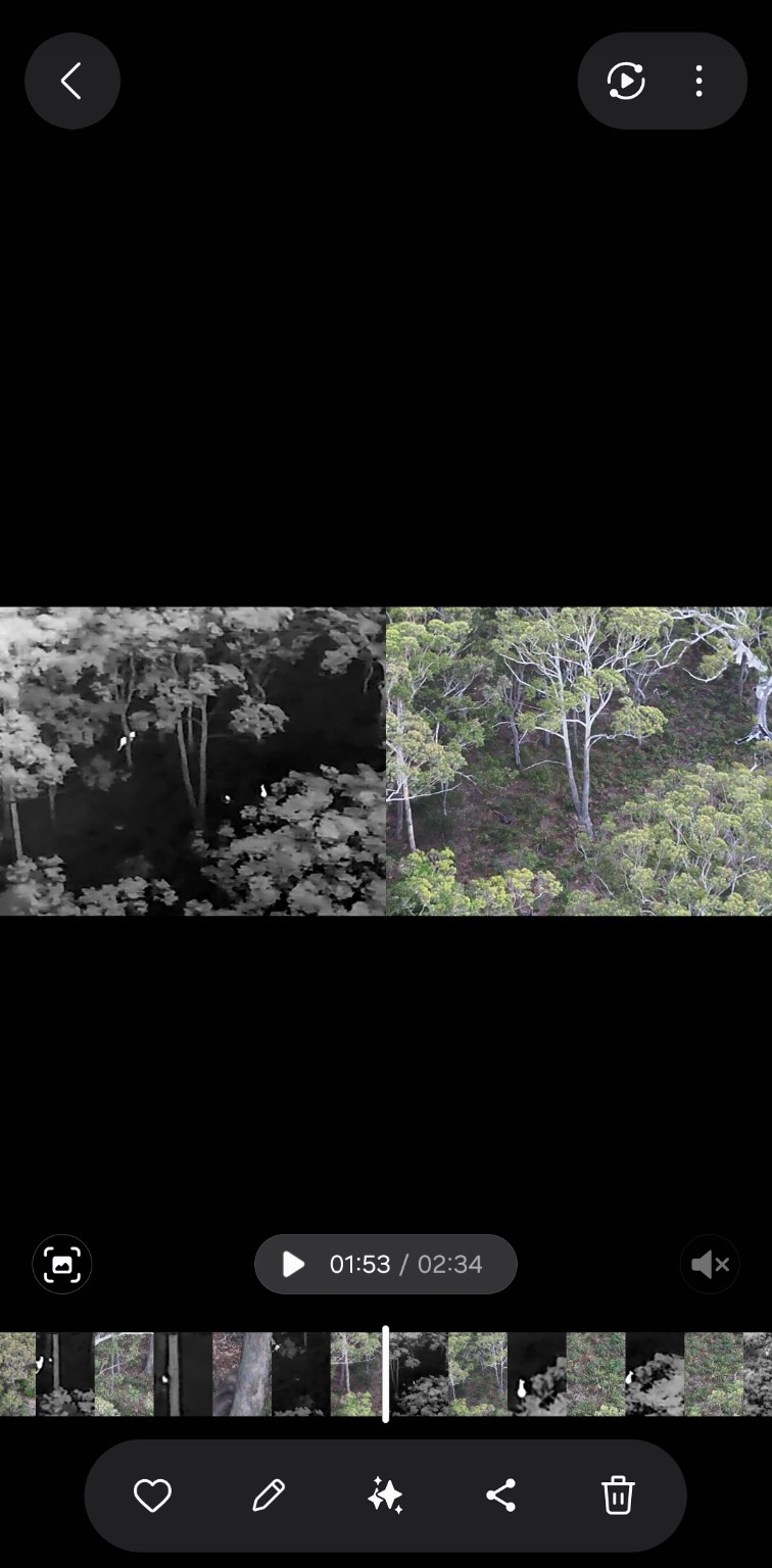
Different cameras reveal different information. Thermal imagery can highlight heat signatures that are difficult to distinguish in an ordinary image.
Kangaroos among the trees at dawn: thermal on the left, visible-light imagery on the right. The comparison shows how heat signatures can stand out against surrounding vegetation.
THERMAL IMAGING / DEMONSTRATION
Thermal / visible lightDAWN · KANGAROOS
03 / YOUR PILOT
One point of contact. From start to finish.
Hi, I’m Ben Elliott. The person behind MBR.AIR.
I’m a Sydney-based remote pilot with experience in commercial drone demonstrations, thermal imaging and coastal UAV operations.
When you work with MBR.AIR, you deal directly with the person planning the flight, capturing the imagery and preparing your deliverables.
Ben ElliottREMOTE PILOT / MBR.AIR
04 / HOW IT WORKS
A clear process. From the ground up.
01
Tell us what you need
Share your location, what you want to capture and any preferred dates.
02
Agree on the scope
We assess the location and confirm the deliverables and quote.
03
Receive your imagery
Your agreed imagery, aerial map or animal observations, ready to review and use.
05 / YOUR NEXT PROJECT
Let’s take a closer look.
Tell us what you need to see, capture or document.